Asia
 MP 304
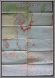
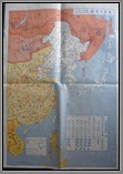
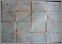
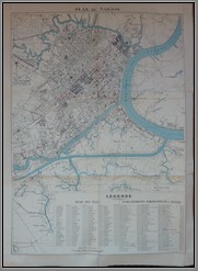
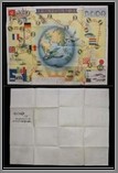
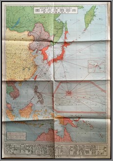
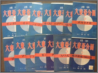
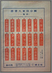 MP 304Complete set of 20 maps published in Japan in the late 1930’s on the Greater East Asia Co-Prosperity Sphere. A very rare set, all but one of the maps in this collection include the original stamped cover that the map came in. This collection includes #1 World,#2 South Pacific islands, #3 Philippines, #4 Luzon Philippines, #5 French Indochina/Thailand, #6 Thailand (Siam), #7 Burma, #8 Malaya Sumatra #9 Malay, #10 Java/Sunda, #11 Java, #12 Borneo, #13 Celebes Moluccas, #14 Papua (New Guinea), #15 Australia,#16 East Australia, #17 New Zealand, #18 Hawaii, #19 India, #20 East India. M
Price: $9000.00
Note: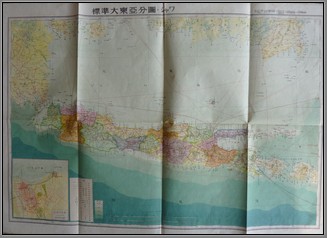 MP 304
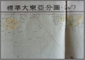 MP 304 The Greater East Asia Co-Prosperity Sphere was an imperialist propaganda concept created and promulgated for occupied Asian populations during the first third of the Shōwa era by the government and military of the Empire of Japan. It extended greater than East Asia and promoted the cultural and economic unity of Northeast Asians, Southeast Asians, and Oceanians. It also declared the intention to create a self-sufficient "bloc of Asian nations led by the Japanese and free of Western powers". It was announced in a radio address entitled "The International Situation and Japan's Position" by Foreign Minister Hachirō Arita on June 29, 1940.
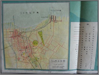 MP 304An Investigation of Global Policy with the Yamato Race as Nucleus—a secret document completed in 1943 for high-ranking government use—laid out the superior position of Japan in the Greater Asia Co-Prosperity Sphere, showing the subordination of other nations was part of explicit policy and not forced by the war. It explicitly states the superiority of the Japanese over other Asian races and provides evidence that the Sphere was inherently hierarchical, including the Japanese Empire's true intention of domination over the Asian continent and Pacific Ocean.

