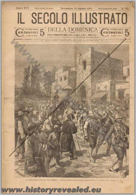
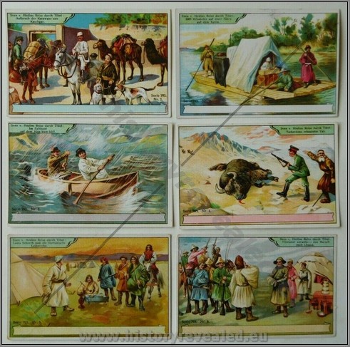
 KT 070
Complete set of German cards Sven Heydins Journey to Tibet. M
Price: $250.00

KT 070
Complete set of German cards Sven Heydins Journey to Tibet. M
Price: $250.00
 KT 022 | French press photo of the Dalai Lama in Paris in 1986. Described on back. M Price: $35.00 |
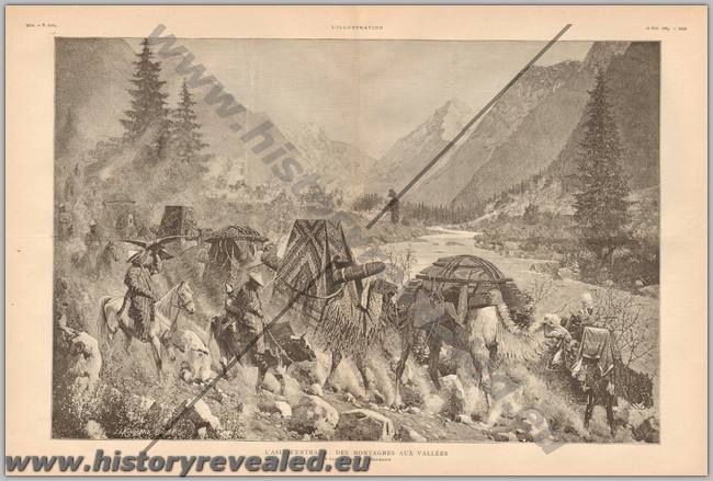 SAPE028
A large foldout illustration of the valleys and mountains of Central Asia. Dated 1885. B
Price: $60.00
 PEH040
Complete 1926 issue of Le Pelerin, with centre illustration showing a clan of Tibetans raiding an English expedition and destroying all their modern goods. B
Price: $70.00
 SAPE 024
 SAPE 024
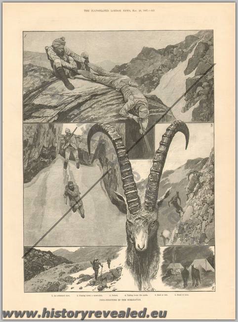
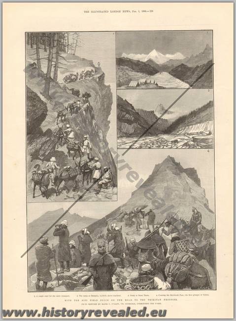
A small collection of period illustrations from European sources on the Sikkim Expedition of 1888. Shown are rhw Niti Field Force on the road to Tibet, first glimpse of Tibet, a Tibetan booby trap, ibex shooting in the Himalayas, transport of trees in the forests of the Himalayas.
Price: $100.00
Note: In the beginning of the 18th century Bhutan appropriated a large tract of country on the east of Sikkim. Between 1776 and 1792 Sikkim was constantly at war with the victorious Gurkhas, who were, however, driven out of part of their conquests by the Chinese in 1792; but it was not until 1816 that the bulk of what is known to us as Sikkim was restored by the British, after the defeat of the Nepalese by General Ochterlony. 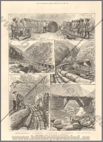 SAPE 024
 SAPE 024In 1839 the site of Darjeeling was ceded by the raja of Sikkim. In 1849 the British resumed the whole of the plains (Tarai) and the outer hills, as punishment for repeated insults and injuries. In 1861 a British force was required to impose a treaty defining good relations. The raja, however, refused to carry out his obligations and defiantly persisted in living in Tibet; his administration was neglected, his subjects oppressed, and a force of Tibetan soldiers was allowed, and even encouraged, to seize the road and erect a fort within sight of Darjeeling. After months of useless re-monstrance, the government was forced in 1888 to send an expedition, which drove the Tibetans back over the Jelep pass. A convention was then concluded with China in 1890, whereby the British protectorate over Sikkim was acknowledged and the boundary of the state defined; to this was added a supplemental agreement relating to trade and domestic matters, which was signed in 1893. B
 ASEPC 059
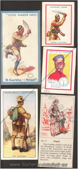
Collection of 5 different European confectionary cards on Nepal and Gurkhas. All described. m
Price: $100.00
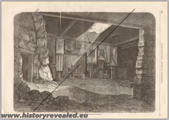 KT 017
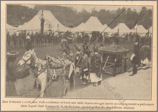
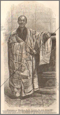
A collection of 16 illustrations from European periodicals on 19th century Tibet. Shows Tibetan military, tea culture, views, culture, English incursion in 1904, monastaries, monks, the Dali Lama in 1910, the Sven Haydin expedition, Buddhist temple. B
Price: $490.00
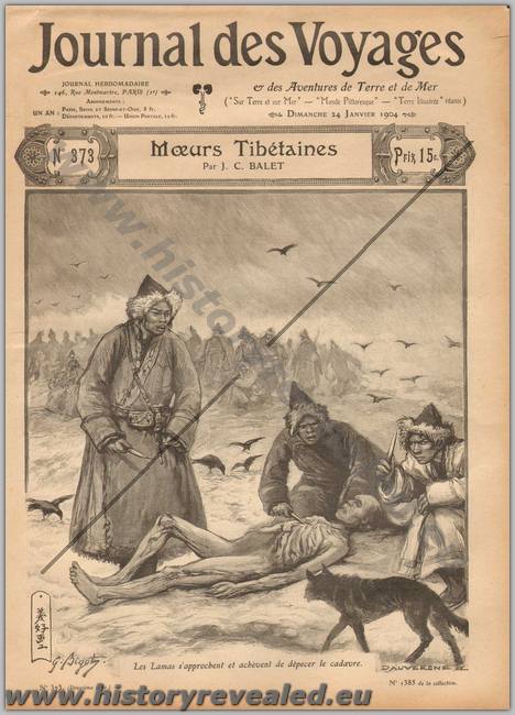 KT 017 | 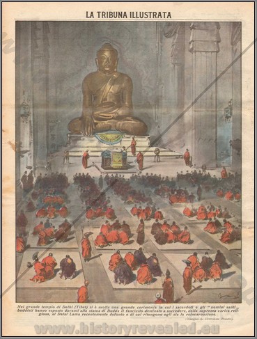 KT 017 | 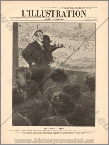 KT 017 | 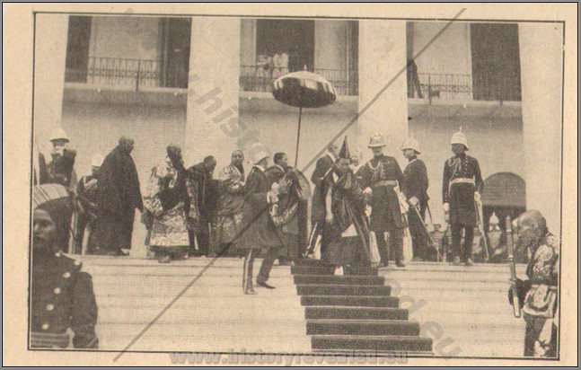 KT 017 |
 KT 017 | 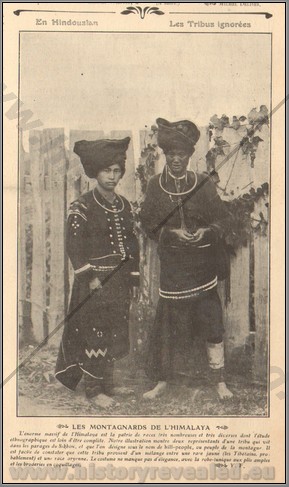 KT 017 | 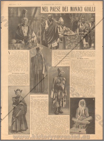 KT 017 | 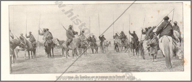 KT 017 |
 KT 017 |  KT 017 | 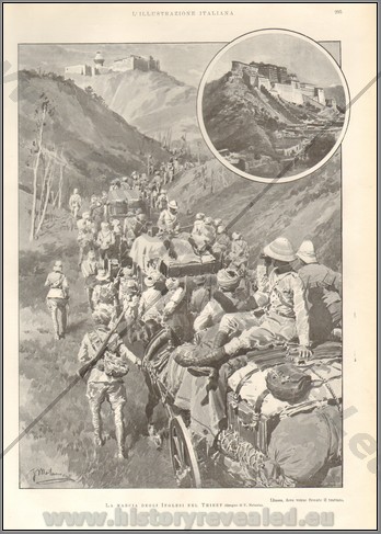 KT 017 | 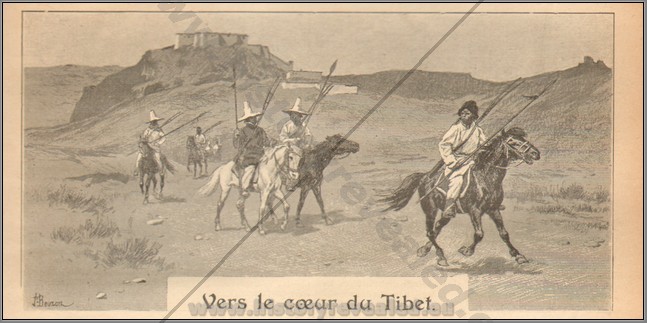 KT 017 |
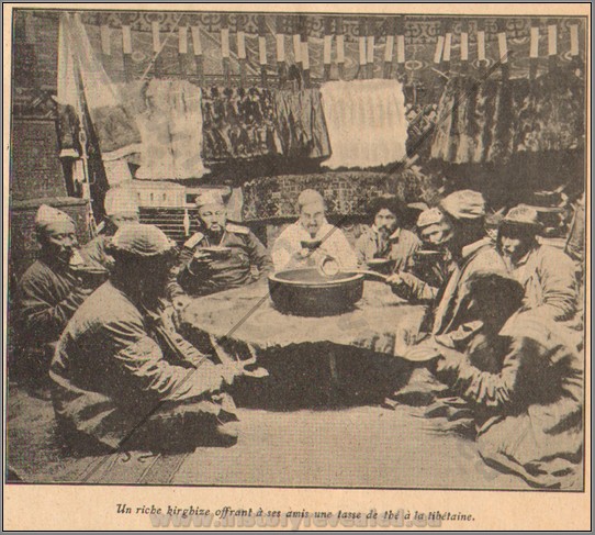 KT 017 | 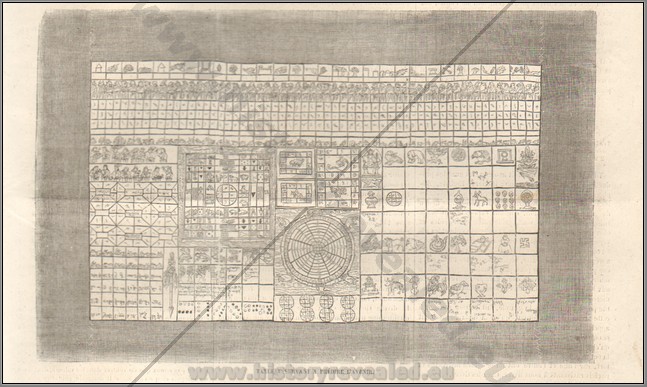 KT 017 | 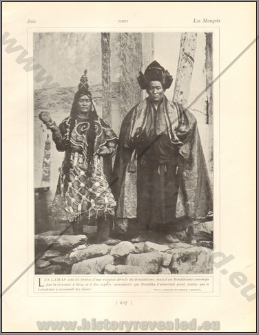 KT 017 | 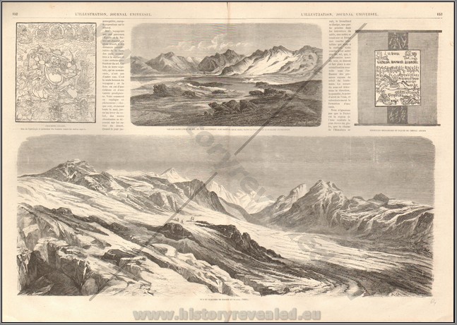 KT 017 |
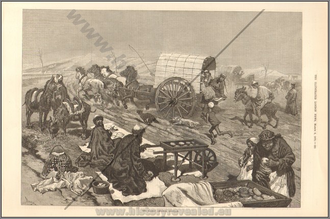
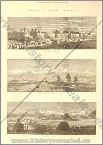
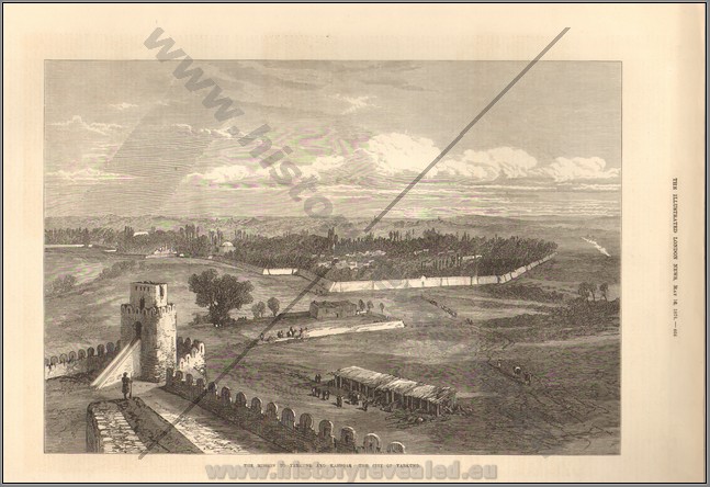
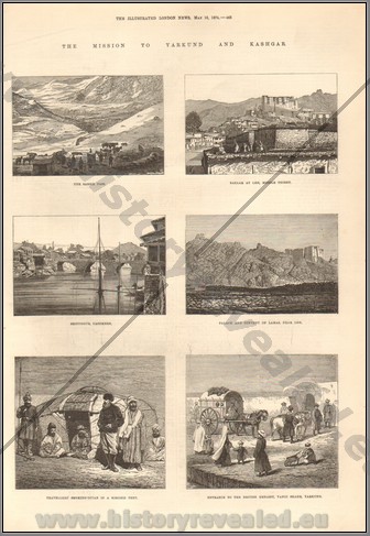 SAPE 022Large collection of 20 illustrations from European periodicals on the British Mission to Yarkund and Kashgar in 1874. The Pamirs are a moutainous region of central Asia, lying on the north-west border of India. Since 1875 the Pamirs have probably been the best explored region of High Asia. Not only have many travelers of many nationalities directed their steps towards the Bam-i-dunya (“the Roof of the World”) in search of adventure or of scientific information, but the government surveys of Russia and India have met in these high altitudes, and there effected a connection which have helped to solve many of the geodetic problems which beset the superficial survey of Asia. Since Wood first discovered a source of the Oxus in Lake Victoria in 1837, and left us a somewhat erroneous conception of the physiography of the Pamirs, the gradual approach of Russia from the north stimulated the processes of exploration from the side of India. Native explorers from India first began to be be busy in the Pamirs about 1860, and continued their investigations for the following 15 years. In 1874 the mission of Sir D. Forsyth to Yarkund led to the systematic geographical exploration of the Pamir country.The illustrations in this collection are mainly from Forsyth's mission. B
Price: $440.00
 SAPE 022 | 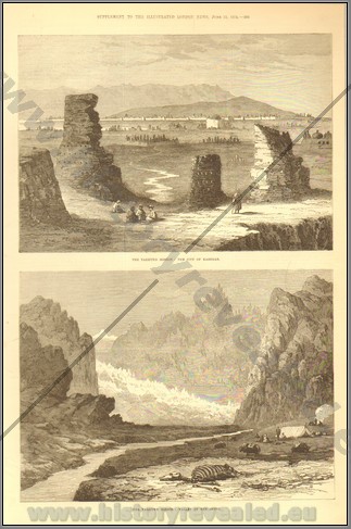 SAPE 022 | 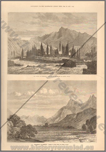 SAPE 022 | 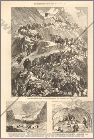 SAPE 022 |
 SAPE 022 | 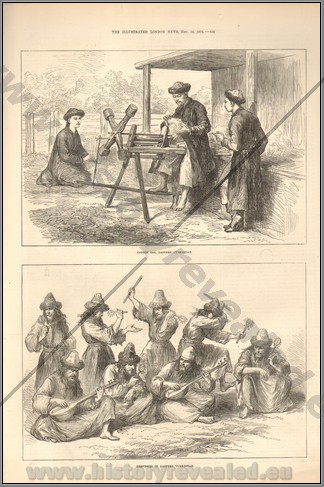 SAPE 022 | 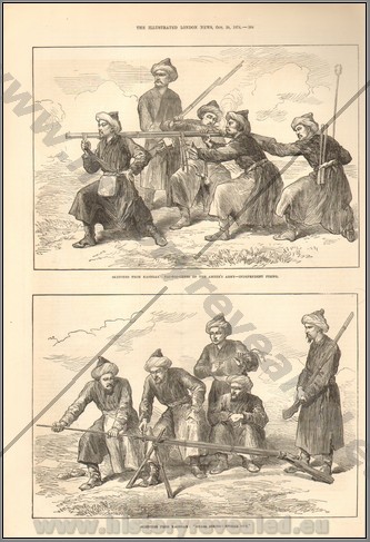 SAPE 022 | 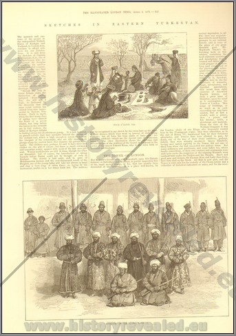 SAPE 022 |
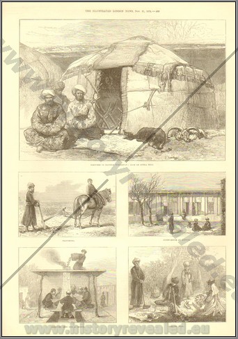 SAPE 022 | 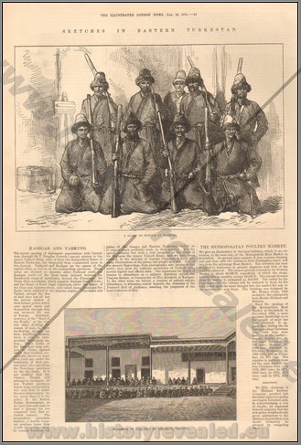 SAPE 022 | 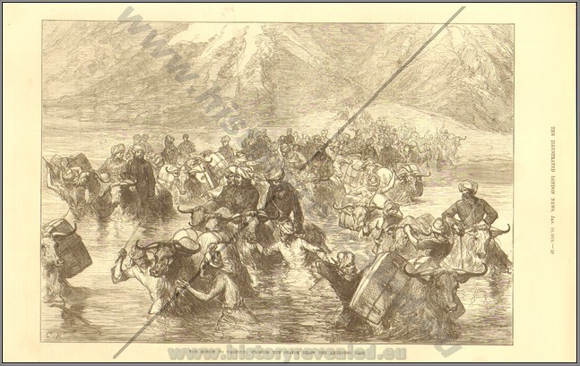 SAPE 022 | 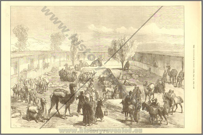 SAPE 022 |
 SAPE 022 | 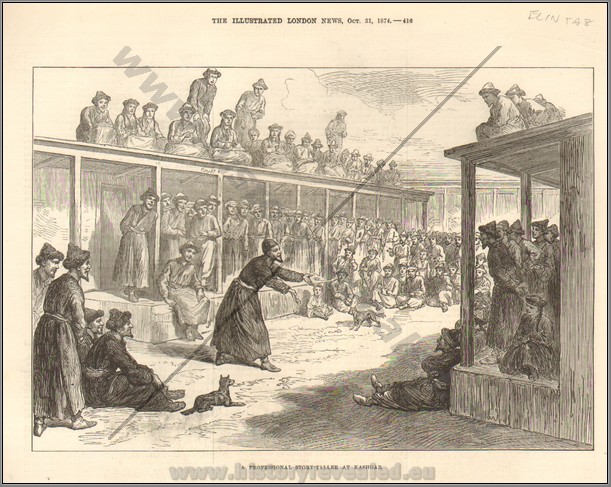 SAPE 022 | 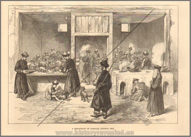 SAPE 022 | 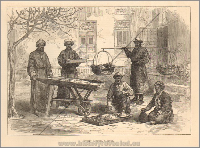 SAPE 022 |
 SAPE 039
 SAPE 039
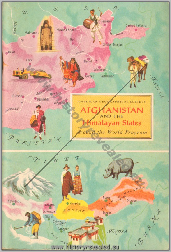
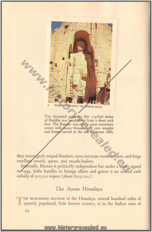
American Geographical Society Afganistand the Himalayan States. By Patricia and Robert C. Kingsbury, 1960. All stamps are present. Covers Pakistan Frontier States, Kashmir, Himalaya Punjab, Nepal, Sikkim, Bhutan, Assam Himalaya, Little Tibet and Afghanistan. mBB
Price: $100.00