Africa

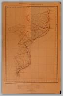
MozambiqueMAP 127


Provincia de Mocambique. much detail. Printed by: Elaborada e Editada Pelos Servicos de Agrimensura (Portugal) Dated: 1960. Size: 39x62 cm. Scale: 1:4000000. M

Price: $90.00

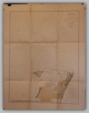
Maritime map of MozambiqueMAP 124


Plano Hydrographico da Enseada do Quicembo. Maritime map of Mozambique coast with much detail. Printed by: Commissao Permanente de Melhoramentos do Porto de Lourenco Marques (Portugal) Dated: 1904-06. Size: 78x101cm. M

Price: $180.00

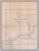
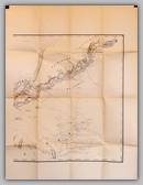
Zaire de Stanley-PoolMAP 111Zaire de Stanley-PoolMAP 111


Carta do Curso do Rio Zaire de Stanley-Pool ao Oceano in two parts. Done for Capello E Ivens. Early colonial exploratory map, good detail. Printed by: Commissao de Cartographia (Portugal) Dated: 1883. Size: 65x75 cm. B/2

Price: $350.00

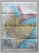
Africa Orientale ItalainaMAP 494


Colonie Dell ' Africa Orientale Italaina E Abissinia.  An interesting map in that it shows no border between Italian Somaliland and Abyssinia and the border of Eritrea is wrong.  The Abyssinian flag is shown. Published by: Anselmo Tavazzani, Milano. Dated: 1928 - 193. Size: 50 x 70cm. M

Price: $220.00

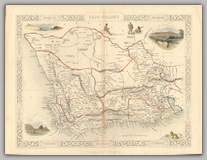
South AfricaMAP184


Cape Colony. South Africa with 5 views.

Produced by: Tallis (UK) Dated circa 1880.

Size 27 x 37 cm. M


Price: $70.00

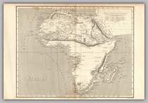
All AfricaMAP 159


Africa Secundum legitmas Projections Stereograpicae regulas. All Africa, shows kingdoms and states between rivers Senegal and Gambia. Produced by: Arrowsmith (UK) Dated 1807. Size 43 x 28cm. B

Price: $90.00

Copyright © 2013-2024 History Revealed