World and Europe

 WW1 propoganda mapMAP 372L'Insegmento Della Carta Geografica Della Guerra fascinating anti-German WW1 propoganda map in Italian, printed in the UK. It shows the huge area occupied by the Allies globally, roughly equal to the size of Europe, and the second map shows the area occupied by the Axis powers in Europe....leading to the conclusion that Germany will lose the war!!  No doubt done toward the end. Roberts & Leete Ltd. London was lithographer. Produced in Italy Circa 1918. Size: 69 x 34cm. B

Price: $360.00

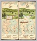
Faerdselskort city mapsMAP 347Faerdselskort city mapsMAP 347

NYT Faerdselskort. Available are maps 1, 2, 5, 7, 8, 10. Many city map inserts. Interesting in that symbol of GI is a star of David under a crown. The Danes actively supported the Jews during Nazi Occupation, with everyone in the country wearing a jewish armband. Produced by the Geodaetisk Institut (Denmark) Dated between 1939 and 1941. Size: 50 x 80cm. Scale: 1:150000. B

Price: $500 for all or $120 each

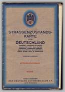
Nazi period autobahn mapMAP 346Nazi period autobahn mapMAP 346


Strassenzustands Karte von Deutschland. Early Nazi period autobahn map. Jacket showing nazi symbol attached. Also gives list of admin centres and addresses throughout Germany. Issued by: Der Deutsche Automobil club (Germany) Dated: 1936. Size: 87 x 114 cm. Scale: 1:1000000. B

Price: $190.00

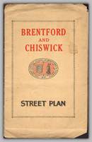
Brentford and Chiswich Street PlanMAP 053Brentford and Chiswich Street PlanMAP 053


Brentford and Chiswich Street Plan. Lots of ads and data on front and back, jacket complete. Authored by: G.W. May (UK) Circa 1935. Size: 59 x 64cm. B

Price: $130.00

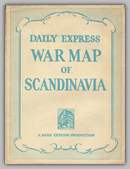
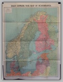
War Map of ScandanaviaMAP 052War Map of ScandanaviaMAP 052


Daily Express War Map of Scandanavia. Interesting as it shows Russian leases in the Baltic, both German and British minefields, etc. Produced by: London Geographical Institute (UK) Dated: 1940. Size: 101 x 76cm. B

Price: $200.00

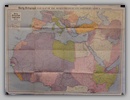
War Map of the MediterraneanMAP 051

Daily Telegraph War Map of the Mediterranean and North Africa. No.5 Revised Edition. Interesting in that demilitarized zones are shown in Corsica and France and although the war is still raging in Italian East Africa, Britain is shown as controlling entire coastline. Produced by: Daily Telegraph (UK) Dated: 1940. Size: 76 x 101cm. m

Price: $280.00

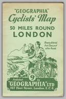
50 miles round LondonMAP 03650 miles round LondonMAP 036


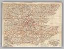
Geographia Cyclists Map 50 miles round London. Complete with jacket. One of 6 maps. Produced in the UK Dated: 1935. Size: 63 x 72cm. B

Price: $60.00

Railway GuideMAP 035Railway GuideMAP 035


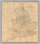
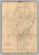
The ABC Railway Guide Map for London and Suburbs, England and Wales and Scotland. Lots of data as well as rail lines. Produced in the UK Circa 1940. B

Price: $110.00

greater GermanyMAP 033

I Cinque Conttinenti. Huge folding map, shows greater Germany and, rarely, Italian occupation of Br. Somaliland. Needs repairing. Produced by: Ente Toponomastico Italiano (Italy) Dated: 1940. Size: 100 x 140 cm Scale: 1:30000000. m

Price: $180.00

Postal District Plan of LondonMAP 032Postal District Plan of LondonMAP 032


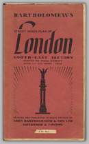
Street Index and Postal District Plan of London. South East Sheet. Cloth back. Nice folding map with covers intact. Loads of detail. Produced by: John Bartholomew (UK) Circav1940. Size: 109x90cm. B

Price: $110.00

Copyright © 2013-2024 History Revealed